
Dover Township Neighbor Records
The immediate Dover Township block is best understood as adjacent parcels, not a directory of people. York County's Property Viewer can show a parcel polygon, address, owner information, PIDN, sales, tax context, roads, and property lines. Assessment data adds the owner field and deed book/page. A Recorder document can then supply the recorded transaction trail. These records explain land relationships around a block. They do not establish who is currently present at every address.
| Official source | What it shows about a block | Access |
|---|---|---|
| York County Property Viewer | Target and adjacent parcel polygons, road and municipal context, property address, PIDN, and assessment fields. | Public map viewer. |
| Assessment and Tax Claim | Listed owner, current or previous owner where displayed, sale and deed book/page references. | County assessment data, updated weekly according to the County. |
| Recorder of Deeds | Recorded parties, legal description, plan references, and instrument dates. | Recorder route and public terminals. |
| County Street List | A defined voter-list product with listed voter and address fields for a requested area. | Request process with election-law limits, identification, and affirmation. |
| Township records | Permit, plan, ordinance, minutes, or public-body context tied to a place. | Township office or a specific RTKL request for existing records. |
For a Dover Township block, give each result its proper label: an adjacent parcel, an assessment owner field, a recorded party, or an official civic record. None alone is a full account of the people around a property.
Map a Dover Township Block
The Property Viewer has a direct, reproducible route for the immediate block. Search the target by property address, owner information, the 18-digit parcel or lease number, or the 13-digit PIDN. Its configured layers include tax parcels, roads, municipal boundary outlines, state and county boundary, and imagery. No one-click radius or buffer tool was verified, so inspect adjoining polygons by hand.
- Find the target parcel and confirm the property address, municipality, and PIDN before reviewing the surrounding map.
- Zoom to the parcel polygon and identify each parcel touching a side or rear line. Note whether a road, right-of-way, or corner touch separates it.
- Write the adjacent parcel's PIDN and property address, then open its Viewer or Assessment information separately.
- Retain the listed owner field, sale date, deed book/page, and a qualifier such as corner touch, undeveloped land, or corporate or estate ownership.
- Open the recorded deed only when the transaction, legal description, or plan reference needs to be compared.
This map flow helps identify parcels around a target. For the full record chain along a named road, use the Dover Township street directory.
A usable parcel log records the search date, target PIDN and property address, map context, each touching parcel, each adjoining PIDN and address, the assessment owner-information field, the deed book/page, and any qualifier about the contact. For a historic block, also retain the directory or map edition and the legal description that connects an older lot to its current parcel. The log keeps visual closeness from becoming a claim about people.
Dover Township Parcel Lines
Map proximity needs careful reading. A shared side or rear line can identify an adjacent parcel. A road or right-of-way can separate properties even when the map makes them look close. A corner contact is still different from a shared line. York County's Viewer is a reference map, not a title or survey opinion, and the research did not verify zoning or flood layers in its configured operational map layers.
When an exact boundary, easement, right-of-way, or lot dimension matters, compare the recorded deed, plan, or survey. The property map can orient the search, while the legal description and recorded plan provide the land-record detail. Record the date of the Viewer search because parcel and map data have different update schedules.
Dover Township Neighbor Owner Fields
The viewer's owner information and assessment roll can be valuable, but they need a narrow interpretation. They can identify a listed owner for a taxable parcel and may show a previous owner, sale date, sale price, deed book, deed page, year built, assessed values, school district, and program indicators. A Homestead, Farmstead, or Clean & Green field reflects a tax program. It is not an identity or occupancy conclusion.
The local records history has a real split: Archives keeps deeds from 1749 through 1943, while the Recorder has the newer deed range. A current property field is therefore the beginning of the land trail, not an answer about all nearby properties. Compare a deed's parties, date, and legal description before drawing any conclusion from a familiar surname or nearby address.
Note: A property roll identifies a taxable parcel and listed owner, not every person associated with the address.
Dover Township Voter Street Requests
York County's Street List is the official block-oriented voter-record channel, but it is not an online browse tool. The County describes the product as including voter name, residential and mailing addresses, party, and status. A full export is a different, more detailed product. Local and subarea requests use the County's voter-list form in person or by mail, with identification and an affirming use statement. Electronic copies cost $20 and printed copies cost $0.50 per page under the County's published procedure.
Those list products remain limited. They do not include every person connected with a block, and protected or cancelled voters are not a complete public set. Voter history does not disclose a person's ballot choices. The individual Pennsylvania registration-status tool serves a different purpose: a voter checking that voter's own registration.
Note: Request only the defined election material needed, then follow the County's identification, affirmation, fee, and nonpublication rules.
Dover Township Neighbor Record History
Older Dover Township blocks often require a different land-record route than a recent parcel. York County's Archives holds deeds from 1749 through 1943, while the Recorder keeps the newer range. The County's online resource page separately describes Landex public access from 1944 for deeds and miscellaneous documents, from 1974 for mortgages, and from 2001 for parcel-ID lookup. A block trail can therefore move from a current map reference to a Recorder or Archives search.
When a street number has changed or an early deed is owner-indexed, the modern address may not be enough. The current parcel identifier, legal description, plan-book reference, earlier owner field, road or tract name, and recorded parties create the bridge. That history helps compare parcels, not identify everyone who has ever lived near them.
Dover Township Civic Record Contacts
No verified neighborhood-association directory, membership list, or contact roster was found for Dover Township. The useful local contact layer is public, address-specific, and civic. It can help with a permit, plan, public meeting, or election-record question without pretending that a public body has a complete people roster.
| Planning and existing-property records | Dover Township routes existing-property records, zoning-use certificates, permits, and planning questions through its office. Central phone: 717-292-3634. |
|---|---|
| Boards and Commissions | Township government identifies public bodies including planning, sewer authority, zoning hearing board, code appeals, auditors, supervisors, and the Agriculture Area Advisory Committee. |
| Election administration | York County Elections and Voter Registration handles voter registration, polling places, results, and defined voter-list requests. Phone: 717-771-9604. |
| Police-held records | Northern York County Regional Police is Dover Township's police service agency; police records follow that agency's own access route. |
The Dover Township government page is the official starting point for Boards & Commissions and municipal records context.
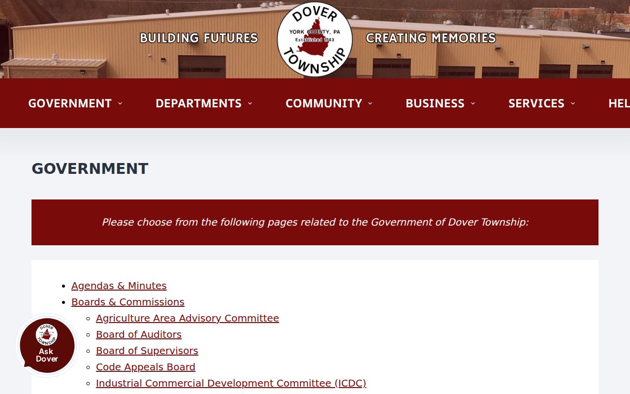
The government page supports public meeting and records contacts. It does not supply a verified neighborhood association or member directory.
Dover Township Community Directory Gap
The Township's community calendar accepts material from churches, homeowner associations, youth sports groups, and social clubs. That does not create an official directory of such groups or their members. The research located no authoritative neighborhood-association list, contact directory, or membership roster. The public Boards & Commissions inventory is useful for civic meetings and records, but it should not be treated as a neighbor directory.
For historical context, the Greater Dover Historical Society's Our Town collection is a local-history lead described by the Township. Its external site was not available for verification, so no catalog, public hours, person directory, or address search should be assumed. A narrow request about a road, village, or time period is the responsible way to approach that history.
Dover Area Community Library can provide public computers and local questions, while the York County History Center is the deeper source for directories, maps, surname files, property and home-history material, newspapers, and yearbooks. Those collections can supply dated context for an earlier block. They do not transform a historical entry into a statement about the present block.
Dover Township Neighbor Source Comparison
Official land records and private neighbor-search categories serve very different purposes. For a block question, use the official route that identifies the specific parcel, recorded document, or civic file. A private category can be stale, incomplete, or unable to show how a result was tied to a County parcel.
| Source type | Useful fact | Practical limit |
|---|---|---|
| Official County parcel and deed records | Parcel geometry, listed owner, deed reference, legal description, and recorded dates. | They do not identify every person around the property. |
| Official Township records | Existing permit, plan, code, minutes, or public-body material for a defined address and period. | Availability, retention, and redactions depend on the specific record. |
| Commercial neighbor-search category | May offer a private compilation. | Potential staleness and coverage errors make it unsuitable as a substitute for a custodian record. |
Note: A record that identifies a parcel or recorded party still needs its date, source, and stated limitation preserved.
Dover Township Neighbor Privacy
Several categories around a block remain private or incomplete. Assessment data does not reliably identify every person at a parcel. Court systems have sealed and protected categories. Pennsylvania's Address Confidentiality Program protects a participant's actual location through a substitute address in covered public records. Motor-vehicle and utility information are not public block directories, and a permit documents a project rather than a personal roster.
Pennsylvania's Right-to-Know Law also protects sensitive identifiers, personal financial and medical information, and some personal contact and home-address information. A requester should accept a lawful redaction and use the specific custodian process if a record appears incorrect. Public access is not permission to combine fragments to defeat the Address Confidentiality Program or another protection.
Lawful use. Use Dover Township neighbor records for civic and property research, and respect all protected information and redactions. Stalking, harassment, and intimidation are prohibited by Pennsylvania law.
When a field seems wrong, send the correction to the custodian that maintains it. Use York County Assessment for a parcel-data question, the Recorder for a recorded document, Elections for voter administration, or Dover Township for an existing municipal record. Preserve the parcel identifier and record date so the office can identify the correct entry.