
Walk a Dover Township Street
The most defensible Dover Township street search starts with a parcel, not a surname. York County Assessment Basic Search accepts an address, and the Property Viewer accepts a property address or partial address. Check that the returned municipality is Dover Township, then keep the parcel identifier, address, owner information, sale data, deed book/page, and map position. Those facts identify a property record. They do not prove a current household roster or turn a listed owner into an asserted occupant.
For a street segment, repeat the same check parcel by parcel. A road may approach another municipality, and spelling variants can affect a partial-street search. The parcel map helps confirm the address and physical location. The assessment result supplies the link to a recorded document. Voter information uses a different legal route, and historic directories require a dated-volume check. Separating those paths keeps a Dover Township street search accurate.
- Enter the address in York County Assessment search or the Property Viewer, then confirm the municipality reads Dover Township.
- Copy the full PIDN or parcel number, owner field, property address, sale data, and deed book/page shown for the matched parcel.
- Open the parcel in the map viewer and compare road, municipal boundary, and parcel polygon with the intended location.
- Use the book/page to read the recorded deed, preserving party roles, legal description, plan reference, and recording context.
- For a voter-record question, use the formal York County Street List procedure. For a historical address, verify a dated directory volume or archive record.
Note: A street search works best when the address, municipality, parcel identifier, and document date stay together in one research log.
Dover Township Street Search Fields
The public York County Property Records Search is the first official lookup for a Dover Township address search. It requires a disclaimer acceptance and permits all basic fields to be blank or combined. The County says assessment data updates weekly, maps daily, and photographs quarterly. In advanced mode, a researcher can add Municipality with Street Name and Street Number, then sort returned parcels by location or parcel. It is a powerful address filter, but it remains a property roll instead of a general people list.
| Field label | Type | Required | Format or use |
|---|---|---|---|
| Parcel | Text, maximum 30 | No | Full 18-digit number or any part may be used. |
| Owner Name | Text, maximum 40 | No | Use Last Name First Name, with no comma; partial text works. |
| Address Number | Text, maximum 10 | No | Combine with direction and street to narrow a Dover Township result. |
| Direction | Dropdown | No | Blank, E, N, NE, NW, S, SE, SW, or W. |
| Street | Text, maximum 20 | No | Full or partial street text; omit periods in abbreviations if useful. |
| Advanced municipality and street criteria | Added criteria | No | Combine Municipality, Street Name, Street Number, and optional ranges. |
The county’s advanced search screen is available through the York County assessment advanced search.
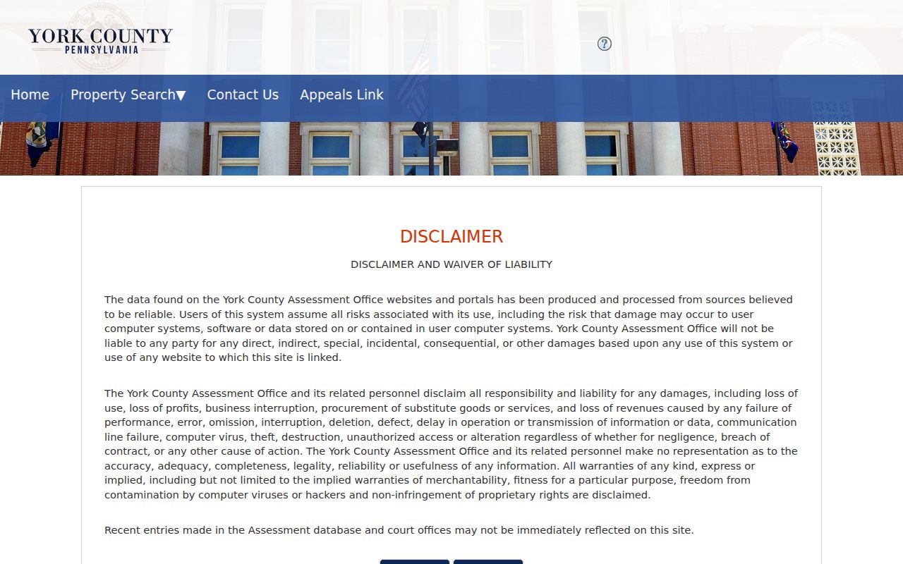
Its municipality and street criteria are the correct way to build a Dover Township parcel set before checking individual records.
Dover Township Parcel Records
The York County Property Viewer 2.0 adds the map side of a Dover Township parcel search. It searches Property Address, Owner Information, an 18-digit Parcel ID Number, a 13-digit PIDN, or the York County Geocoder. Partial address and owner text can return suggestions. Select the correct result, inspect its municipality and parcel shape, then preserve its identification fields before changing records systems.
Verified Viewer layers include tax parcels, roads, municipal boundary outline, county boundary, and imagery. It offers drawing and measurement tools for orientation. It does not provide a verified survey, title opinion, flood stack, or general zoning stack. The viewer can show a street relation between parcels, but the recorded deed, plan, or survey controls when a boundary, right-of-way, or lot dimension matters.
A map result can also include listed owner information, previous owner, school district, land-use code, acres, sale date and price, deed book/page, year built, values, and tax-program fields. Those are assessment and map facts. The County does not describe them as proof that every person at a street address appears in the record.
Dover Township Street Records
Different address-keyed sources answer different Dover Township street questions. The assessment roll gives the best current parcel starting point. The map confirms where that parcel sits. Recorder documents follow the ownership and legal-description trail. A requested voter Street List is the official election-record route, while Township records can document a project or public decision connected with the property. Older directory evidence is a dated complement, not an undated street roster.
| Address source | What it can show | York County or Dover keeper | Access and limit |
|---|---|---|---|
| Assessment database | Parcel, address, listed owner, sales criteria, deed book/page | York County Assessment & Tax Claim | Public search; owner field is not every or current occupant. |
| Property Viewer | Parcel polygon, owner information, PIDN, sale, tax, and deed context | York County Property Viewer | Reference map, not a title or survey opinion. |
| Recorded documents | Deeds, mortgages, plans, easements, and releases | York County Recorder / Archives | Recorder staff do not perform title searches; older custody changes. |
| Street List | Defined voter-list information for a requested area | York County Elections | Request, identification, affirmation, payment, and election-law limits apply. |
| Permit or code file | Project, plan, inspection, or enforcement history | Dover Township | Specific existing-record request; no verified online history search. |
| Historic directory | Possible dated address-to-name lead | History Center and other verified repositories | Confirm Dover coverage in the exact volume. |
The shared key is the parcel identifier. It links the assessment profile to the map and points to a deed book/page. A street name alone is less reliable for older documents, because historic deeds are owner-indexed rather than indexed by today’s street address.
Dover Township Deed Records
The right bridge from a Dover Township parcel to a deed is the assessment profile’s book/page, not an unverified street-string query. The Recorder FAQ directs a researcher to the current deed’s prior reference, often following the words “It being the same premises which…”. Read that reference, then repeat the process. Log each party, the grantor or grantee role, recording date, book/page or document number, legal description, UPI, and plan-book reference. A seller in one transfer may be the earlier grantee in the next.
For newer material, the Recorder’s additional-resources page points to Landex public access for deeds and miscellaneous documents from 1944, mortgages from 1974, and parcel-ID lookup from 2001. For documents before 1944, county guidance directs researchers to IQS or Archives, while the county custody statement routes deeds from 1749 through 1943 to Archives. Public terminals, books, and microfilm are the fallback for a poor image. A chain is research evidence, not a clerk-certified title opinion.
The dated access choices are shown on the York County Recorder research-resources page.
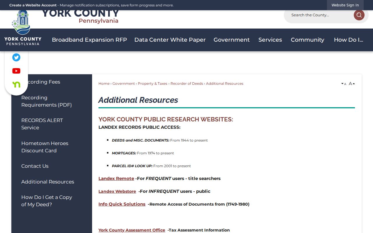
Starting from the parcel’s book/page, the Recorder’s options lead to the correct current or historic deed channel.
Dover Township Permit Records
Dover Township permits add a useful date and project layer to an address trail. The Building & Permits page says a site plan can include existing and proposed structures, dimensions, lot-line distances, utility easements, and rights-of-way. Building permits cover major construction and structural work, while zoning permits apply to other listed improvements and land uses. A permit can show that a proposal was made, reviewed, approved, or inspected. It does not establish who lived at the property.
Dover Township has an online application route but no verified public permit-history search by address. Ask Planning & Development or submit a narrow RTKL request for a named existing permit, site plan, certificate, or code record with an address and year range. The Township says normal residential permit review may take up to 15 business days and commercial review up to 30 business days after acceptance. That timing can help interpret why an address record may lag the visible work.
The permit and planning route appears on the Dover Township permits page.
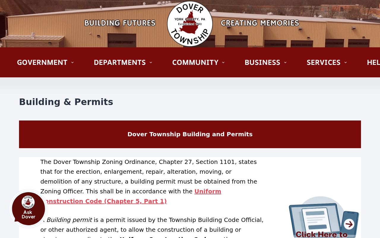
This official resource leads to current application requirements and supports a specific-record request when no public address search is available.
Dover Township Street Address Keys
Address terms need to stay separate in Dover Township address research. A current physical address is only one key. Older land records may use an owner name, tract, road, plan reference, or legal description. The county’s UPI is the durable bridge through the assessment and Recorder systems. One published county example, 48-000-06-0033.B0-00000, includes tax district, block, map, parcel major, parcel minor, and leasehold elements. Copy the whole identifier rather than shortening it.
- Parcel
- A taxable unit of land shown in the assessment system and Property Viewer.
- Situs address
- The physical location of the parcel. It is distinct from a tax-contact mailing field.
- Legal description
- The recorded land description, such as a lot and plan reference or metes-and-bounds wording.
- Plat or recorded plan
- A recorded subdivision or land plan that may be cited by plan book and page in a deed.
- Criss-cross directory
- A historical address-oriented directory that needs volume-by-volume geographic verification.
For an address that seems to disappear in older records, work backward from the UPI, legal description, current deed, prior owner, road or tract name, and plan reference. Do not assume that a modern house number will appear in every historic York County source.
Dover Township Historic Streets
Historic Dover Township street research changes source as records become older. The county sends deeds from 1749 to 1943 to Archives, and the Recorder holds later deeds. Archives warns that its older deeds are indexed by owner, not by modern address. Rural tract history, later subdivision growth, and the 1813 Conewago separation can all break an address-only search. A legal description, prior owner, or tract and road clue is often the safer bridge.
Historical directories may fill a gap between recorded transfers, but each one must be read in its own time. Verified York-area criss-cross holdings include selected 1973 and 1989-95 volumes. The York County History Center also has directories, maps, newspapers, surname files, and yearbooks. A dated historical lead can be compared with deeds and census material, but a volume’s geographic scope must be checked before treating it as a Dover Township street record. The collection methods are described on the Dover Township city directory page.
Note: The research did not verify a Township-wide street-renumbering or renaming date, so no such date should be assumed.
Dover Township Street Voter List
York County’s Street List is the official address-area election record route, but it is not an open web street list. County guidance says the defined product can include voter name, residential and mailing address, party, and status. A local or subarea request uses the Voter Lists form in person or by mail. The form requires requester details, identification, contact information, signature, and an affirmation. The County lists an electronic copy at $20 and printed copies at $0.50 per page.
Election-law limits are part of the record. York County cites a written use statement requirement and prohibits commercial, improper, or unrelated use and Internet publication. A list does not identify every person at an address, and it does not reveal ballot selections. Protected and cancelled voters are not a complete public street source. Use the state registration-status route for an individual’s own confirmation instead.
Dover Township Street Directory Limits
Dover Township address records cannot show every current person associated with an address. Assessment data reports a taxable parcel and a listed owner. A mailing field, where actually displayed, is a correspondence clue and not proof that the owner lives at the parcel. Deeds identify document parties and land description. Permits describe projects. Historic directories are dated sources. Each of those records is valuable, but none is a complete street-by-street record of present residents.
Public records also preserve deliberate limits. Protected addresses must not be reconstructed. Court information may be sealed or otherwise unavailable. DMV and utility customer records are not public street resources. The Property Viewer can help orient a parcel, yet it is not a survey or title opinion. Stop at the source’s stated purpose and contact the proper custodian when a record is restricted, incomplete, or disputed.